Knocknamuck
Mountain in County Tipperary, Ireland

Knocknamuck
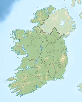
County Tipperary, Ireland
Knocknamuck (Irish: Cnoc na Muc) is a mountain in County Tipperary, Ireland.
Etymology
Its name means "Hill of the Pigs".[2]
Geography
At 340 metres (1,115 ft) Knocknamuck is highest summit in the Slieveardagh Hills and the 916th highest summit in Ireland.
References
- ^ a b "South Midlands Area / Knocknamuck". MountainViews. Ordnance Survey Ireland. Retrieved 19 June 2015.
- ^ Joyce, P. W. Irish local names explained. Dublin: M. H. Gill & Son. p. 61. Retrieved 14 December 2019 – via National Library of Scotland - Blair Collection.
See also
- v
- t
- e
Mountains and hills of Leinster

- Clomantagh Hill
- Knocknamuck
- Annagh Hill
- Barnaslingan
- Bray Head
- Benleagh
- Camaderry
- Camenabologue
- Carrick Mountain
- Carrickgollogan
- Carrigvore
- Cloghernagh
- Conavalla
- Corrigasleggaun
- Croaghanmoira
- Croghan Mountain
- Cupidstown Hill
- Djouce
- Duff Hill
- Gravale
- Great Sugar Loaf
- Keadeen Mountain
- Kilmashogue
- Kippure
- Larch Hill
- Little Sugar Loaf
- Lobawn
- Lugduff
- Luggala
- Lugnaquilla
- Maulin
- Moanbane
- Montpelier Hill
- Mullacor
- Mullaghcleevaun
- Prince William's Seat
- Scarr
- Seefingan
- Silsean
- Slievegad
- Slievemaan
- Sugarloaf (West Wicklow)
- Table Mountain
- Tibradden Mountain
- Tonduff
- Tonelagee
- Turlough Hill
- Two Rock and Three Rock Mountain
- War Hill


