Krueng Cunda River
River in Aceh, Indonesia
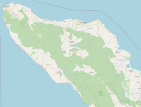

Location of river mouth
Show map of Aceh
Krueng Cunda River (Sumatra)
Show map of Sumatra
Krueng Cunda River (Indonesia)
Show map of Indonesia • location
Krueng Cunda River is a river in Aceh on Sumatra island, in Indonesia, about 1700 km northwest of the capital Jakarta.[1] It forms a strait separating the main part of Lhokseumawe from the island of Sumatra.
Geography
The river flows in the northern area of Sumatra with predominantly tropical rainforest climate (designated as Af in the Köppen-Geiger climate classification).[2] The annual average temperature in the area is 25 °C. The warmest month is August, when the average temperature is around 26 °C, and the coldest is December, at 22 °C.[3] The average annual rainfall is 2568 mm. The wettest month is December, with an average of 572 mm rainfall, and the driest is March, with 114 mm rainfall.[4]
See also
References
- ^ Krueng Cunda at Geonames.org (cc-by); Last updated 2013-06-04; Database dump downloaded 2015-11-27
- ^ Peel, M C; Finlayson, B L; McMahon, T A (2007). "Updated world map of the Köppen-Geiger climate classification". Hydrology and Earth System Sciences. 11 (5): 1633–1644. Bibcode:2007HESS...11.1633P. doi:10.5194/hess-11-1633-2007. Retrieved 30 January 2016.
- ^ "NASA Earth Observations Data Set Index". NASA. 30 January 2016. Archived from the original on 26 April 2020. Retrieved 14 January 2019.
- ^ "NASA Earth Observations: Rainfall (1 month - TRMM)". NASA/Tropical Rainfall Monitoring Mission. 30 January 2016. Archived from the original on 19 April 2019. Retrieved 14 January 2019.
5°13′00″N 97°07′05″E / 5.2166°N 97.118°E / 5.2166; 97.118
External links
- (in Indonesian) Bappeda Kota Lhokseumawe
- (in Indonesian) Facebook Link Kota Lhokseumawe


