Stockheim
Municipality in Bavaria, Germany

Coat of arms
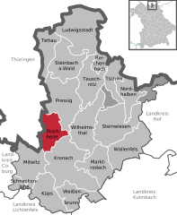
Location of Stockheim within Kronach district
(2022-12-31)[2]
96342
Stockheim is a municipality in the district of Kronach in Bavaria in Germany. It is located on Bundesstraße 85, and on the touristic route Bier- und Burgenstraße (Beer- and Castle Road).
References
- ^ Liste der ersten Bürgermeister/Oberbürgermeister in kreisangehörigen Gemeinden, Bayerisches Landesamt für Statistik. Retrieved 5 September 2023.
- ^ Genesis Online-Datenbank des Bayerischen Landesamtes für Statistik Tabelle 12411-003r Fortschreibung des Bevölkerungsstandes: Gemeinden, Stichtag (Einwohnerzahlen auf Grundlage des Zensus 2011) (Hilfe dazu).
- v
- t
- e
Towns and municipalities in Kronach (district)
- Kronach
- Küps
- Ludwigsstadt
- Marktrodach
- Mitwitz
- Nordhalben
- Pressig
- Reichenbach
- Schneckenlohe
- Steinbach am Wald
- Steinwiesen
- Stockheim
- Tettau
- Teuschnitz
- Tschirn
- Wallenfels
- Weißenbrunn
- Wilhelmsthal

Authority control databases | |
|---|---|
| International |
|
| National |
|
| Geographic |
|
 | This Kronach district location article is a stub. You can help Wikipedia by expanding it. |
- v
- t
- e


