Laarbeek

Cet article est une ébauche concernant une localité néerlandaise.
Vous pouvez partager vos connaissances en l’améliorant (comment ?) selon les recommandations des projets correspondants.
| Laarbeek | ||||
 Armoiries. |  Drapeau. | |||
 | ||||
| Administration | ||||
|---|---|---|---|---|
| Pays |  Pays-Bas Pays-Bas | |||
| Province | Brabant-Septentrional | |||
| Code postal | 5735-5741 | |||
| Indicatif téléphonique international | +(31) | |||
| Démographie | ||||
| Population | 22 954 hab. (2022) | |||
| Densité | 411 hab./km2 | |||
| Géographie | ||||
| Coordonnées | 51° 40′ 00″ nord, 5° 25′ 00″ est | |||
| Superficie | 5 586 ha = 55,86 km2 | |||
| Localisation | ||||
 | ||||
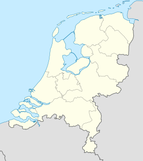
| Géolocalisation sur la carte : Pays-Bas
Géolocalisation sur la carte : Pays-Bas
Géolocalisation sur la carte : Brabant-Septentrional
| ||||
| Liens | ||||
| Site web | www.laarbeek.nl | |||
modifier  | ||||


Laarbeek est une commune des Pays-Bas de la province du Brabant-Septentrional.
Localités
Aarle-Rixtel, Achterbosch, Beek en Donk, Beemdkant, Broek, Croy, De Hei, Deense Hoek, Ginderdoor, Groenewoud, Heikant, Het Hool, Het Laar, 't Hof, Kruisschot, Lieshout, Mariahout, Scheepstal, Strijp, Wolfsputten.
Lien externe
- Site officiel
v · m Commune de Laarbeek | ||
|---|---|---|
| Villes et villages |  | |
| Hameaux et autres lieux |
| |
| ||
v · m | |
|---|---|
| |
Voir aussi : |

 Portail des Pays-Bas


