Show Low
| Show Low | |
|---|---|
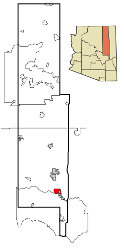 Lage im County und in Arizona | |
| Basisdaten | |
| Gründung: | 1870 |
| Staat: | Vereinigte Staaten |
| Bundesstaat: | Arizona |
| County: | Navajo County |
| Koordinaten: | 34° 15′ N, 110° 3′ W34.243333333333-110.047777777781935Koordinaten: 34° 15′ N, 110° 3′ W |
| Zeitzone: | Mountain Standard Time (UTC−7) |
| Einwohner: | 11.732 (Stand: 2020) |
| Haushalte: | 4.502 (Stand: 2020) |
| Fläche: | 72,3 km² (ca. 28 mi²) davon 72,1 km² (ca. 28 mi²) Land |
| Bevölkerungsdichte: | 163 Einwohner je km² |
| Höhe: | 1935 m |
| Postleitzahlen: | 85901, 85902, 85911 |
| Vorwahl: | +1 928 |
| FIPS: | 04-66470 |
| GNIS-ID: | 0042850 |
| Website: | showlowaz.gov |
| Bürgermeister: | John Leech, Jr. |
Show Low ist eine US-amerikanische Stadt in Arizona im Navajo County. Das U.S. Census Bureau hat bei der Volkszählung 2020 eine Einwohnerzahl von 11.732[1] auf einer Fläche von 72,3 km² ermittelt.
Durch Show Low verlaufen die Arizona State Routes 77 und 260 sowie der U.S. Highway 60.
Show Low liegt inmitten einer Waldregion in Zentral-Arizona. 2002 während eines großen Waldbrandes musste die gesamte Stadt evakuiert werden.
Weblinks
Commons: Show Low – Sammlung von Bildern, Videos und Audiodateien
- www.arizonahandbook.com/showlow
Einzelnachweise
- ↑ Explore Census Data Show Low city, Arizona. Abgerufen am 22. Oktober 2022.
County Seat: Holbrook
| Cities | Holbrook • Show Low • Winslow | |
| Towns | Pinetop-Lakeside • Snowflake • Taylor | |
| CDPs | Chilchinbito • Cibecue • Clay Springs • Dilkon • East Fork • First Mesa • Fort Apache • Greasewood • Hard Rock • Heber-Overgaard • Hondah • Hotevilla-Bacavi • Indian Wells • Jeddito • Joseph City • Kayenta • Keams Canyon • Kykotsmovi Village • Lake of the Woods • Linden • Low Mountain • McNary1 • North Fork • Oljato-Monument Valley • Pinedale • Pinetop Country Club • Pinon • Rainbow City • Seba Dalkai • Second Mesa • Seven Mile • Shongopovi • Shonto • Shumway • Sun Valley • Tees Toh • Turkey Creek • Wagon Wheel • White Mountain Lake • Whitecone • Whiteriver • Winslow West2 • Woodruff |


